Carbon Management Tool for Urban Lands

Capturing atmospheric carbon into urban landscapes—trees, shrubs, turf, riparian zones—can contribute to both climate stabilization and significantly buffer communities from rapidly escalating climate change extremes. To do so effectively, however, we need new types of tools that can analyze data to project where and how much carbon we can capture and what critical life support services—reducing extreme heat, absorbing stormwater, reducing air pollution—this carbon drawdown can achieve.
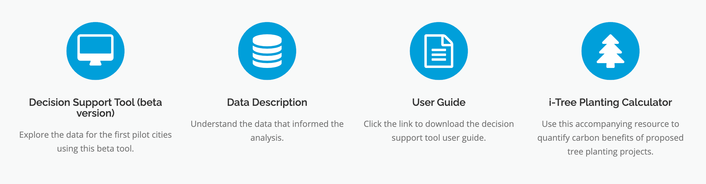
In 2020 and 2021, UDI, the Trust for Public Land, and other partners have been building a new urban lands carbon management analysis and decision support tool that can assist both local governments and community-based organizations in designing and assessing such actions.
Full capability versions of the software have been built for 8 cities across the US—Boulder (CO), Cleveland (OH), Columbia (MO), Fayetteville (AK), Iowa City (IA), Lincoln (NB), San Francisco (CA), and San Luis Obispo (CA). All 8 cities’ data is available online with easy-to-learn tutorials enabling anyone to use them.
UDI and TPL are working on scaled-down applications of the tool that could soon be available to all cities across the US. We anticipate this tool to continue to rapidly evolve as new science and capabilities increase our ability to capture and manage carbon in living ecosystems systems—urban or rural.